 1.
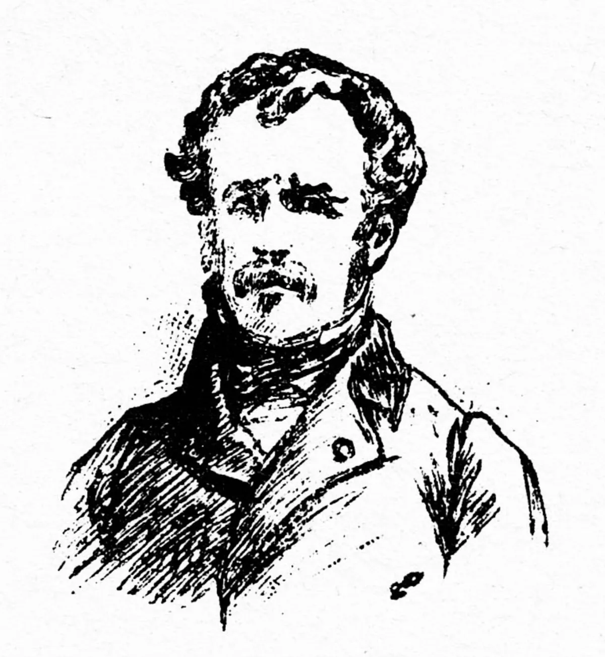
1. Pierre Peytier - Jean Pierre Eugene Felicien Peytier, sometimes named Eugene Peytier - was a French officer, geographer, engineer, cartographer and painter.
1. Pierre Peytier - Jean Pierre Eugene Felicien Peytier, sometimes named Eugene Peytier - was a French officer, geographer, engineer, cartographer and painter.
Pierre Peytier entered the Ecole polytechnique in 1811, where he obtained his diploma.
Pierre Peytier was then integrated into the topographical service of the French army in the corps of the engineers-geographers in 1813.
Pierre Peytier was promoted lieutenant in 1817, then capitain in 1827.
Pierre Peytier made the first ascents of the Pyrenean peaks Palas, Balaitous and Saint-Barthelemy.
However, after the departure of the scientific mission from Greece, and although he fell ill with the fever five times, Pierre Peytier remained there alone until 31 July 1831 to complete the trigonometric, topographic and statistical work for the establishment of the map of Morea.
Pierre Peytier left an album which he himself composed with his pencil drawings, sepias and watercolours depicting city views, monuments, costumes and inhabitants of Greece at the time.
Pierre Peytier used an artistic style that avoided idealization for the benefit of scientific fidelity and precision, which fully revealed the topographer that he was.
Pierre Peytier returned definitively to France in 1836 and from 1839 he continued his work on the map of France in the cartographic section of the army.
Pierre Peytier was promoted to the rank of colonel in 1852.